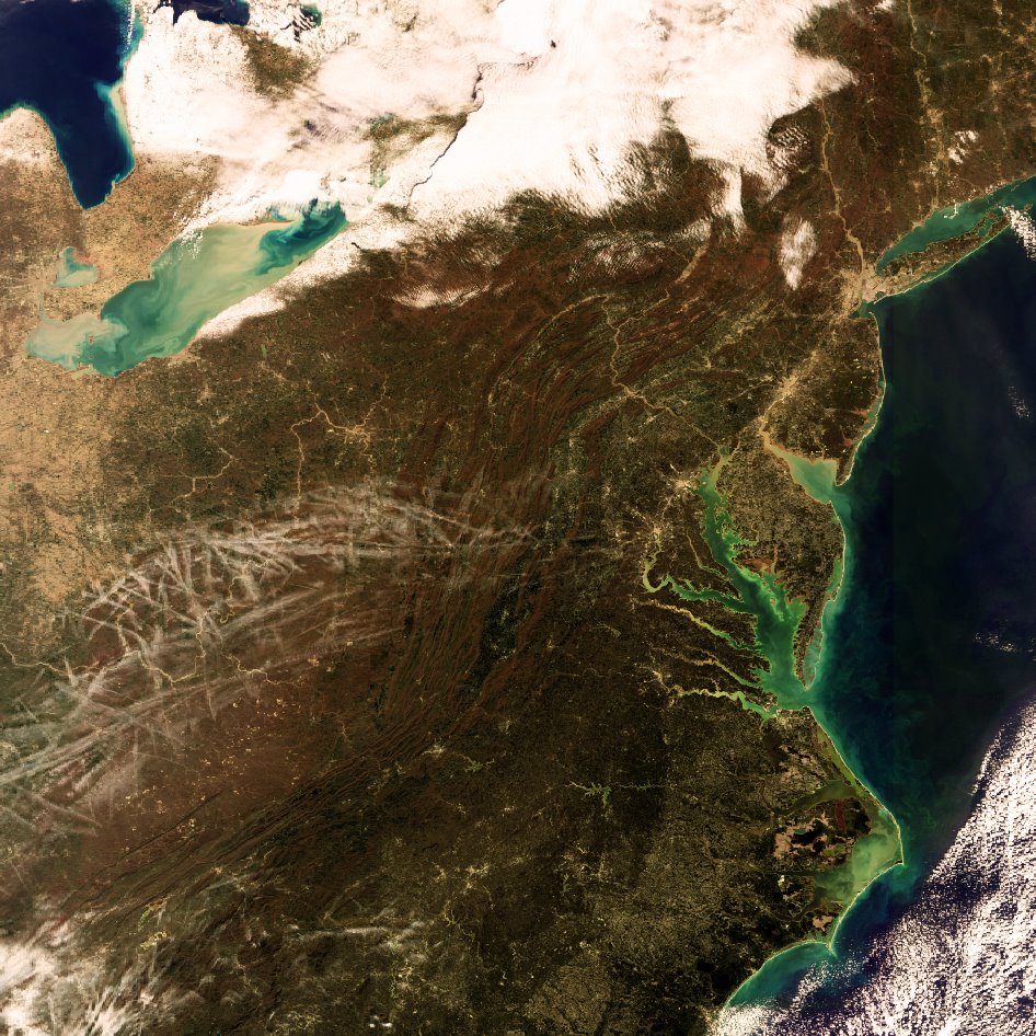
There's something about satellite images that really intriques me... i've always loved aerial views. when i first looked upon this satellite image of a section of eastern North America my attention was immediately caught by the Chesapeake Bay, North America's largest estuary, and the ridges of the Appalachian Mountains. Lake Erie, one of the Great Lakes of North America, was the next feature to catch my eye. i'm pretty sure i see the Pennsylvania Turnpike (a manmade feature) running east/west at just about center of the image cutting through the mountain ridges and lying underneath the jet contrails.
oh, yeah, the jet contrails.... that's the associated story with this image. check it out here, it's pretty interesting itself.
btw, click on image to see more detail :)
No comments:
Post a Comment